Built for real fieldwork
All of it works offline. Collect for a whole day somewhere with no coverage, and export once you are back.
📡
GPS tracking, three modes
High Precision (±2 m), Balanced (±5 m) or Battery Saver (±10 m). It keeps recording in the background for hours.
📷
Geotagged photos and video
A camera that will not fire until the accuracy is good enough, with a grid overlay and a self-timer. Stamp the coordinates, the address, the time and your own logo onto the picture if you want them there.
🗺️
Points, lines and polygons
Draw them with the length, area and perimeter updating as you go, and record whatever you need against each one using forms you built yourself.
🎯
GPS point averaging
For a corner that has to be right, take dozens of fixes and average them. It tells you how the samples are behaving while you stand there.
📍
Landmarks, geofences and destinations
Reference layers that stay put from one survey to the next, an alarm when you reach a place, and a list of waypoints to work through in order.
🛰️
Offline basemaps
The OpenFreeMap vector basemap (Bright or Liberty) cached on the phone, and your own MBTiles packs, GeoTIFFs and georeferenced rasters underneath your work.
📦
Formats everyone reads
GeoPackage, Shapefile, KML, GPX, and coordinate sheets as XLSX. It all comes out as one ZIP, photos and videos included, with a manifest to check nothing went missing.
🔒
Your data stays on the phone
Nothing leaves the device unless you export it yourself. Whether coordinates go into the photo's EXIF, and whether video records sound, are both your call.
See it in action
One morning's walk around Universitas Indonesia in Depok. These are real screenshots of the app as it installs, not mock-ups. Tap any of them to read how that part works.
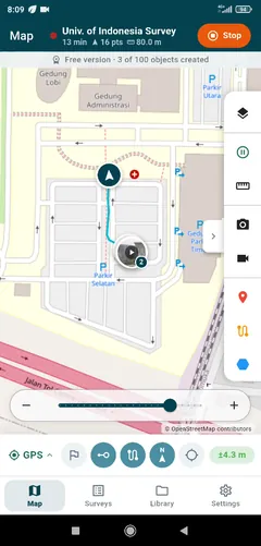
Track as you walk
Your trail, the distance and the point count, all on the map as it happens. It carries on recording with the screen off.
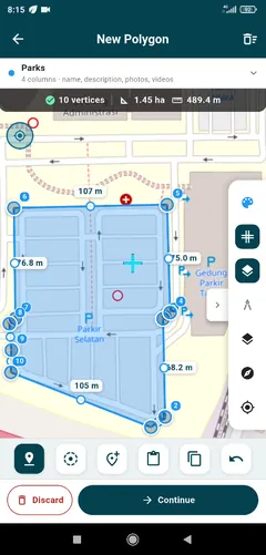
Draw points, lines, polygons
Area, perimeter and every edge length update with each vertex.
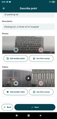
Evidence on the object
Your own fields on every layer: text, numbers, choices, photos and videos.
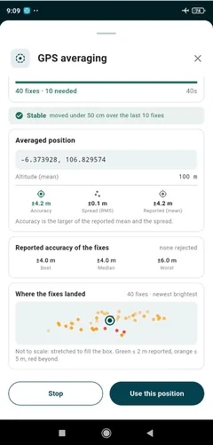
Average a corner that matters
Dozens of fixes, the spread, and a stability check before you accept the point.
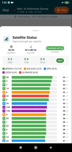
See what the sky is doing
36 satellites across five constellations, with DOP and signal strength.
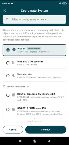
Export in the CRS you need
WGS 84, UTM, or the national systems in use where you are.
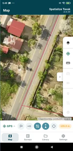
Your own imagery, offline
Orthophoto MBTiles packs and GeoTIFFs drawn on the phone with no signal at all.
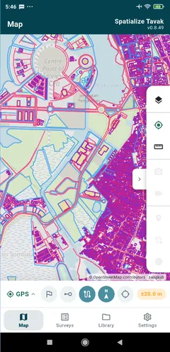
Reference data by the million
3.9 million buildings in one GeoPackage, panning smoothly.
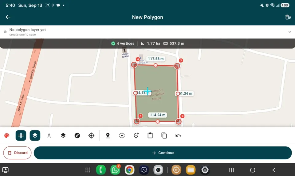
Tablets as well
The same tools with more map around them. On a 10-inch tablet the placement bar and the phase bar share the bottom edge.
Open it in QGIS with nothing to set up
Every export comes with a .qgs project already written: the layers styled in your own colours, map tips that show a photo thumbnail when you hover, and right-click actions that open the original photo or video. Works with QGIS 3.28 and later, including QGIS 4.
Tavak Enterprise
For organisations with a crew in the field. Phones enrol with a QR code, take their forms and settings from your own server, and send each survey back as they work. The server runs on your machine and keeps everything in your PostGIS database. Spatialize never receives your survey data.
You can follow the crew on a live map, send forms and messages to the phones, lock the settings that matter, and look at the results in a web GIS in your browser. We install the server for you, remotely, and the installation is free during the introductory period.
The free version gives you one survey and up to 100 objects, counting points, lines, polygons, and photos and videos that stand on their own. Everything else is there at no charge, including the export and the QGIS project, because we are not going to hold your data hostage. The full version removes both limits, as a monthly or yearly subscription through Google Play that you can cancel whenever you like. No account to create, no cloud to be tied to. Needs Android 7.0 or newer.