Draw objects on the map with the measurements updating as you go, describe them, and style each layer. Every object belongs to a layer, so either set the layers up first (Layers & Fields) or pick Default and add the fields later.
A point
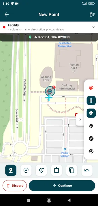
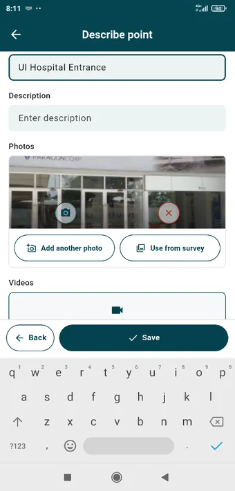
New Point in the Facility layer. The bar under the map is how you place the vertex: at the crosshair, at your GPS position, at a GPS average, from the clipboard, or copied off another object. The arrow undoes. The coordinates of the point you placed appear above the map.Describe point: name and description first, then the layer’s own fields. Here, a photo already taken and a video field still waiting.
Continue takes you from the geometry to the description, and Back returns to the map without losing what you typed. You can also make a point out of a photo you already took (Photos & Videos).
A polygon
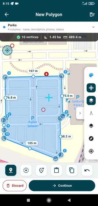
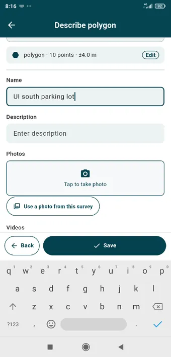
Ten vertices around the south car park: 1.45 ha, 489 m of perimeter, and every edge labelled with its length. Drag a handle to move it, drag the small circle on an edge to add a vertex, double-tap a vertex to take it out.The same describe page for a polygon, where the layer’s photo field offers to take a picture or use one from the survey.
A line
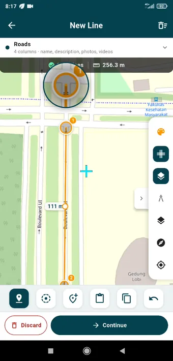
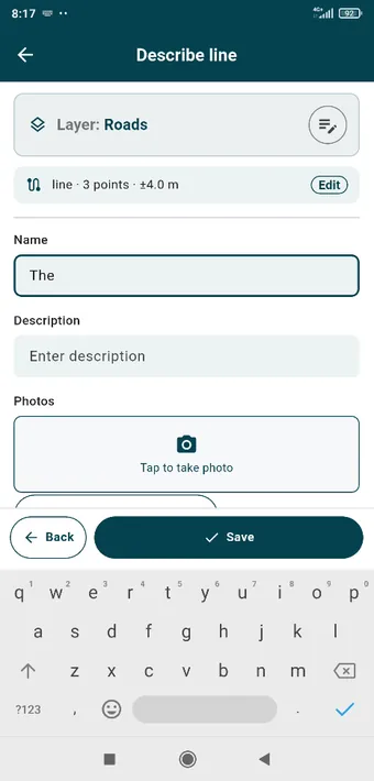
A line along Boulevard UI: three points, 256 m, with the loupe magnifying the vertex under your finger as you drag it.Lines are described the same way. The header shows what you drew (line, 3 points, ±4.0 m) and Edit takes you back to the geometry.
Styling a layer
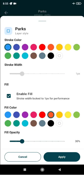
Layer style for Parks: stroke colour and width, fill on or off, fill colour and opacity. The style belongs to the layer, so every object in it changes together, and it is written into the QGIS project when you export.
On a tablet
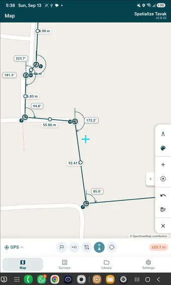
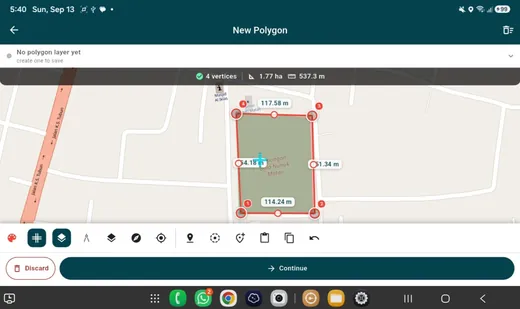
A 10-inch tablet in portrait: the same tools, just more map. Angles and edge lengths are labelled as you draw.Landscape on the tablet: the placement bar and the phase bar share the bottom edge, and the rail moves to the side.