Homestead Documentation
The user guide for Homestead, the free desktop GIS built around one map. Open any vector or raster data, style it, cut a piece out and export it, and keep the whole desk as a project. It also opens the survey a Tavak phone brings back, with its photos, videos, replay and a PDF report. Linux, Windows and macOS.
This guide covers Homestead 0.5.x (September 2026). The app is under heavy development, so the odd detail here may be ahead of the build you are running, or behind it. A dashed box is a screenshot we have not taken yet, and it says what the picture will show.
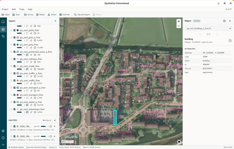
What it opens
Rasters: GeoTIFF and Cloud Optimized GeoTIFF, JPEG 2000, PNG, JPEG, WebP, GIF, BMP and PNM with a world file, MBTiles and GeoPackage tiles, Erdas Imagine, ENVI, ESRI BIL, Arc/Info ASCII Grid, ER Mapper, Idrisi, ILWIS, SAGA, Surfer, R raster, XYZ, NITF, PCIDSK, RMF, BT, PCRaster, MRF, ISIS3, SRTM HGT, DTED and VRT.
Vectors: GeoPackage (zipped too), Shapefile and zips of Shapefiles, GeoJSON and its sequence, JSON-FG, TopoJSON, ESRIJSON, KML and KMZ, GPX, CSV and TSV, Excel and OpenDocument sheets with coordinates, GML, MapInfo TAB and MIF, DXF, DGN, FlatGeobuf, SQLite and SpatiaLite, File Geodatabase, vector MBTiles and PMTiles, GMT, GeoRSS, JML, OpenStreetMap and OGR VRT.
The Supported formats page lists the extensions and the notes for each one.
Basics
- Getting started: Install on Linux, Windows or macOS, open the window, and put the first layer on the map.
- The window: The menu bar and toolbar, the rail, the panel beside the map, the dock under it, and the status bar.
- The map and its basemap: Moving around, OpenStreetMap by default, your own tile service, the coordinates under the cursor.
Your data
- Vector layers: Anything OGR reads: Shapefile and its zip, GeoJSON, KML, GPX, CSV, GeoPackage, File Geodatabase and the rest, from disk or by URL.
- Styling: One style for the whole layer, point symbols from five icon fonts, colour by a field, and the legend in the tree.
- Rasters: GeoTIFF, JPEG 2000, MBTiles and thirty other formats, drawn at every zoom from a pyramid built once.
- Looking things up: Clicking for what is under the cursor, hover tips, the attribute table, and searching the text of a whole survey.
Getting data out
- Clip and export: Draw a shape or take polygons from a file, then export MBTiles, a Cloud Optimized GeoTIFF or a GeoPackage.
- Projects: Save the whole desk as a .hstd file and open it back with a double click.
Tavak surveys
- Opening a survey: The backup ZIP Tavak exports, what is inside it, the survey in the tree, several at once.
- Replay: The timeline over the map plays the survey back in capture order.
- Photos and videos: The Media tab, the lightbox, and the media a form field holds.
- The PDF report: The survey as a document: the summary, then one table per layer with its photos and videos.
- Before and after the field: Basemaps and reference layers for the phone before the survey; the survey back on the desk after.
Reference
- Settings and About: Every setting explained, and what the About page tells you.
- Supported formats: Every raster and vector format Homestead opens, and what it does not.
- FAQ and troubleshooting: A raster that will not open, a blank basemap, a slow export, and a video that will not play.