Clip and export
Cut whatever is on the map down to a shape and write it out: an MBTiles basemap for the phone, a Cloud Optimized GeoTIFF, or the visible vector layers gathered into one GeoPackage. With no shape drawn, the same tabs simply convert whole files. Open the panel from Tools › Clip and export, from the toolbar, or from the rail.
The clip shape
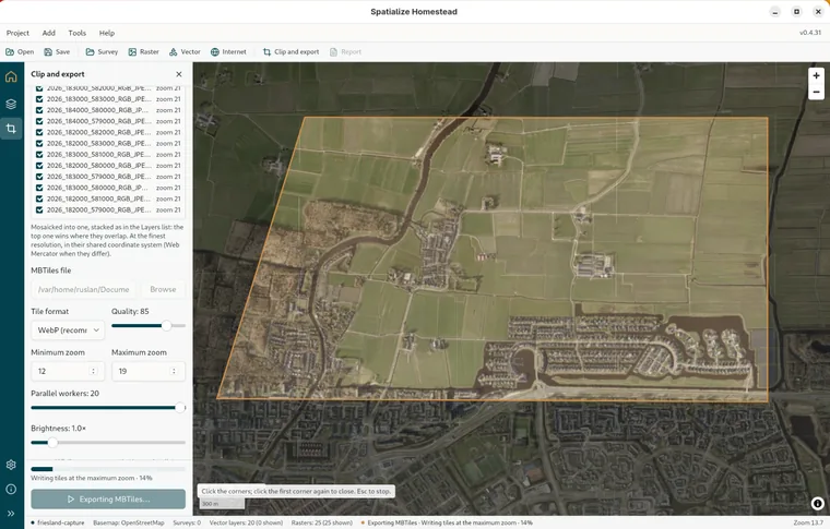
Draw a rectangle by dragging on the map, or Draw a polygon by clicking the corners and clicking the first one again to close it. Edit lets you drag a whole shape, a single corner, or a midpoint to add a corner. Delete the selected shape and Clear every drawn shape do what they say. Press a tool again, or Esc, to put it down. You can draw as many shapes as you like; together they make up the clip, and the map dims whatever falls outside them.
Or take the polygons from a file. Polygons from a file… loads a Shapefile, GeoJSON, KML or KMZ: the plot boundaries, the district, the survey blocks. Every polygon is drawn on the map, and clicking one picks it, with All, None and Fit beside the count for the rest. Pick nothing and all of them clip. Shapes you drew and polygons from a file work together.
MBTiles
This is the tab for a basemap the phone reads offline, or for any tiled copy of a raster. Browse chooses where to save it, suggesting a name beside the source. Then come the options:
| Option | What it does |
|---|---|
| Tile format | WebP is the one to pick: the smallest files, and Tavak reads it. PNG is lossless and the largest, and works everywhere. PNG8 has 256 colours, stays small, and is fine for maps and scans. JPEG is small and lossy with no transparency, so use it for photos and imagery. |
| Quality | 30 to 100 for WebP and JPEG; 85 by default. |
| Minimum and maximum zoom | Which levels to write. The maximum starts at the raster's native zoom when you add it. You can go finer, but the panel will warn you that the tiles are being upscaled. The line under the options estimates how many tiles you are asking for. |
| Parallel workers | How many tiles are written at once, up to the machine's ceiling (see Settings › Processing threads). Reckon on about 400 MB per worker. |
| Brightness | A multiplier from 0.5 to 5 for a dark image; leave it at 1.0 for ordinary maps and scans. |
| Source value range | For a raster that is not 8-bit, the values to stretch to black and white. Sentinel-2 L2A runs 0 to 10 000, and reflectance floats 0 to 0.3. |
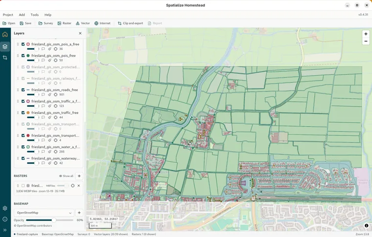
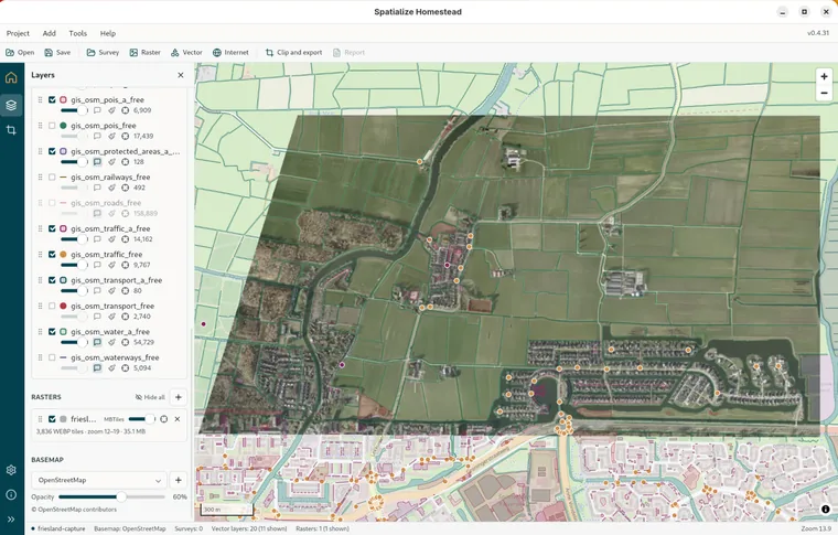
With several rasters on the map, a tick list called Rasters in the export decides which of them go in. They are mosaicked into one, stacked as they are in the Layers list, with the top one winning wherever they overlap, at the finest resolution, in whatever coordinate system they share, or Web Mercator if they do not share one. The finished MBTiles is added to the map as a raster, and the panel tells you how to get it to the phone: copy the file over and import it from Tavak's Library, under Add Dataset › Raster.
GeoTIFF
A Cloud Optimized GeoTIFF of the clip, or of the whole raster, or of the mosaic, in the raster's own coordinate system and at its own resolution, with the overviews inside it. That way it opens here instantly and tiles later on a server. For Compression, use JPEG for imagery, which is the smallest, is 8-bit only, and comes with a quality slider; or DEFLATE, ZSTD or LZW, all lossless and good for any data. When it finishes, Add it to the map puts it beside the source.
GeoPackage
Every visible vector layer becomes a table in the GeoPackage, in WGS 84, cut to the clip shape, or whole if you drew none. This is what Tavak imports as a dataset, under Add Dataset › Vector. The clipping itself needs GEOS, which the bundle carries; the About page shows it under GDAL.
While it runs
The button at the bottom reads Clip and export MBTiles, or just Export when no shape is drawn, and the panel's footer shows the phase and the percentage: reading the source, writing the tiles at the maximum zoom, building the lower zooms, writing the metadata. The export carries on whichever panel you open, and the status bar keeps it in view until it is done. There is no cancel. A 5 × 5 km block of 5 cm orthophotos becomes tiles in about two minutes on a desktop with every core in use.