Taking geotagged photos and videos, naming them, and finding them again on the map. It all stays on the phone, and leaves only when you export.
Taking a photo
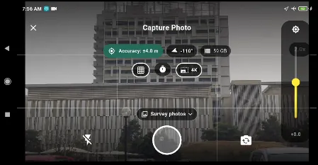
The camera in landscape: the badge at the top reports the fix (±4.0 m, heading, altitude), the grid helps you frame the shot, and the chip over the shutter says where the photo is going. Here, into the survey’s standalone photos.
Tap the camera tool on the rail. The accuracy badge is the gate: shoot once it is green. A photo can stand on its own, in which case it belongs to the survey, or go into a photo field of an object. See Layers & Fields.
Naming it
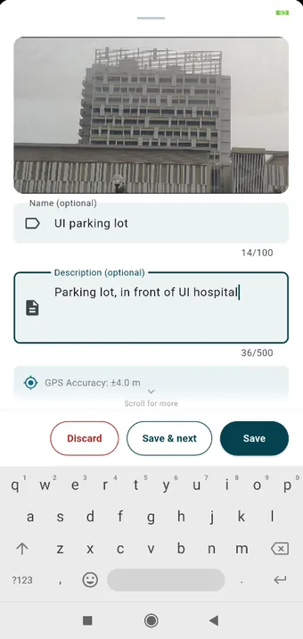
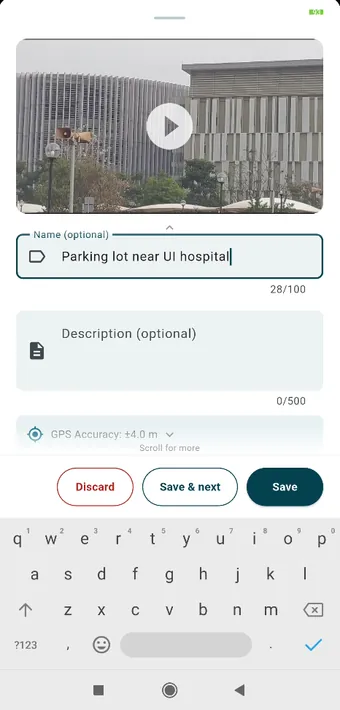
After the shutter: a name and an optional description, with the GPS accuracy of the shot underneath. Save & next takes you back to the camera for the next one.Videos get the same two fields. Name and description are reserved on every photo, video and object, so they turn up in every export.
Recording a video
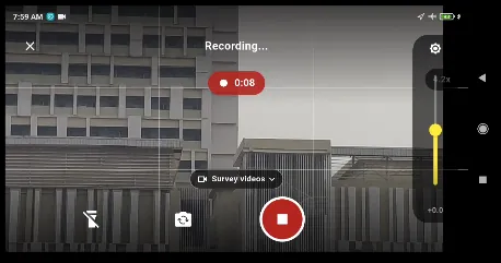
Recording, with the elapsed time at the top. Sound is recorded if you granted the microphone permission. Refuse it and the video is simply silent; nothing else changes.
Finding them on the map
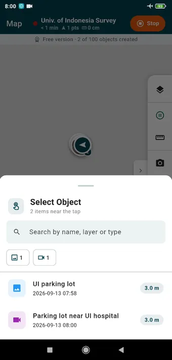
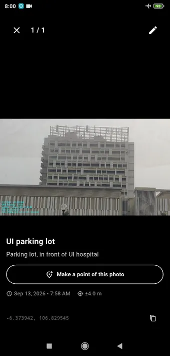
Photos and videos show up on the map as small pictures. Tap where two of them overlap and Select Object opens, with a search box and a chip for each kind.The photo itself: name, description, time, accuracy and coordinates, which you can tap to copy. Make a point of this photo turns it into an object in a layer and keeps the picture attached to it.
Photos inside objects
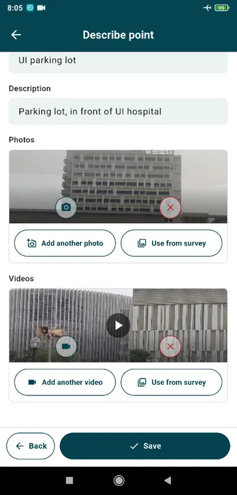
A point in the Facility layer with a photo and a video in its own fields. Take a new one, or use Use from survey to attach something you have already shot.
A layer can have photo and video fields of its own. The pictures then belong to the object and travel with it into the export, where QGIS puts them in the map tip and opens them from the attribute form.
Settings that matter here
Settings › Photo & Video holds the resolution, the compression, whether coordinates are written into the JPEG’s EXIF, and the optional watermark: coordinates, accuracy, time, address, your own logo. Looking up the address is the only part of this that touches the network, and it is off unless you turn it on.